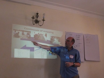
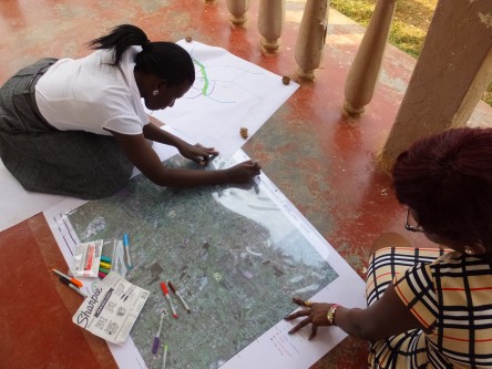
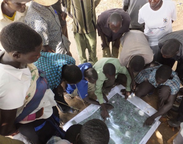
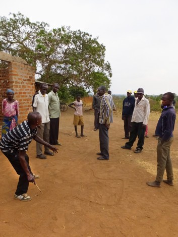
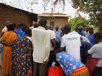
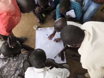
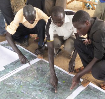
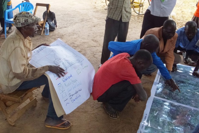
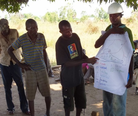
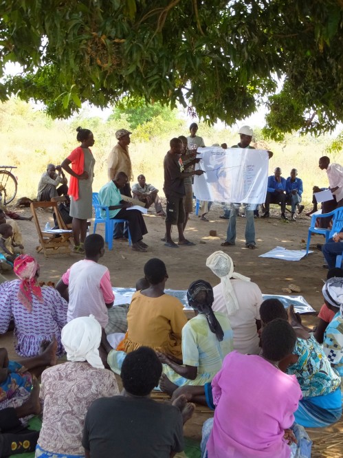
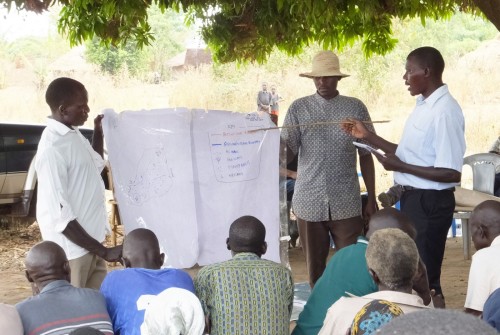
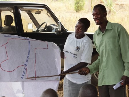
One of the central steps in Namati’s community land protection process is participatory mapping of community lands and natural resources. During mapping meetings groups of men and women discuss and draw initial maps of their community boundaries, communal areas and ways that they use their land and natural resources. The small groups then come together to share and combine their maps.
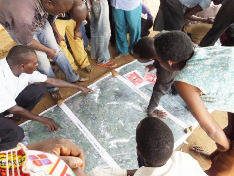
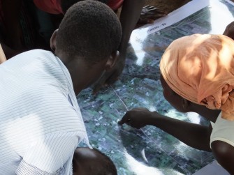
Namati and partners are testing new tools to support community mapping, including the use of satellite imagery, digital mapping software and global positioning system (GPS) data. This gallery shares photographs from two community meetings in northern Uganda in February 2015 where Namati and LEMU field tested the use of satellite imagery in participatory mapping exercises.


